
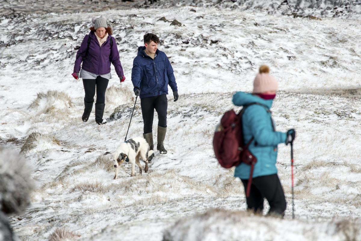
Snow and ice brought treacherous conditions to many parts of the country overnight, with the cold snap forecast to bite into the new year.
Bands of rain, sleet and snow were moving across the UK on Tuesday morning, bringing dangerous driving conditions, particularly around Manchester, Gloucestershire, Wiltshire and Berkshire, the Met Office said.
Temperatures plunged as low as minus 7.7C (18F) near Inverness in Scotland on Monday night, while nearby Aviemore saw 9cm of snow and Lake Vyrnwy in Powys, Wales, had 7cm, it added.

Met Office meteorologist Alex Burkill said the agency lacks a comprehensive ability to measure snow depth and anecdotal reports online of 5cm to 10cm of snow across many parts of the UK were likely to be accurate.
In east Lancashire, there were “lots of collisions coming in as the snow falls heavily”, according to Deputy Chief Constable Terry Woods, while Highways England also warned motorists over snow-hit roads.
Snow caused some supermarket delivery orders to be cancelled, with Tesco saying it was unable to reach some customers in Stoke and the West Midlands.
Listening to @LancsPolice radio on the way into work – lots of collisions coming in as the snow falls heavily in East Lancs. Please be careful out there and slow down folks @BBCLancashire pic.twitter.com/nB4B6h2f5f
— DCC Terry Woods (@DCCWoods) December 29, 2020
A yellow warning for snow and ice for much of England, Wales and Scotland was in force until 10am on Tuesday after heavy snow in some regions, with more wintry weather expected on Wednesday and Thursday.
Freezing fog patches are likely to be slow to clear in parts of England and western Scotland, the Met Office added.
Fresh warnings are likely to be issued throughout the day, including one for snow and ice across swathes of Scotland and Northern Ireland for snow and ice on Tuesday evening, Mr Burkill added.
⚠️ Snow and ice warnings are in force for many this morning ❄️⚠️
An area of sleet and #snow currently across parts of northern England, will spread south into Wales and the Midlands during this morning, with wintry showers for some other areas of the UK 🌨️
Stay #WeatherAware pic.twitter.com/P7xRElt7cA
— Met Office (@metoffice) December 29, 2020
He said there was also a risk of rain turning to ice in North Wales and north-west England, particularly around Cheshire, overnight into Wednesday as temperatures plunge below freezing.
Temperatures in the afternoon are forecast to be around 4C-7C across the UK, turning cold quickly in the evening with a widespread frost.
The Met Office said: “Wintry showers will start to fade inland in the afternoon, but they will continue to stream into coastal areas, northern Scotland and Northern Ireland.”
Mr Burkill said coastal areas could also see hail and thunder.
Southern parts of England have been warned there is a chance snow and ice could hit on Wednesday and Thursday.
Mr Burkill added: “The amount of snow would be disruptive and impactful. We could still see a few centimetres building up. These areas don’t usually see that much snow.”
In the south Cotswolds, river levels started to recede after rain caused homes and roads to flood.
Cotswold district council leader Joe Harris called on Thames Water to provide more support and clear raw sewage which had mixed with floodwater.
He said in a statement: “There needs to be a clear plan to prevent river water infiltrating sewage systems on this scale again – it is simply not fair that residents have had to deal with this.
“We have witnessed carers arriving to provide essential personal care to elderly and vulnerable residents and being forced to wade through sewage contaminated floodwater.

A low pressure system will see rain meet cold air, turning to snow over hills and lower areas.
The cold snap is forecast to continue well into the new year.
The AA said regional restrictions imposed due to Covid-19 mean roads are quieter than normal
A Tesco spokesman said: “Difficult weather conditions in some parts of the country meant that we had to cancel a very small number of deliveries.
“We are sorry for the inconvenience this has caused and would like to apologise to any customers affected.”
It said fewer than 1% of orders on Monday were affected, mainly around Stoke and the West Midlands.
A Sainsbury’s spokesman added: “We continue to give prioritised access to our vulnerable customers for home delivery and a very small proportion of orders have been cancelled due to dangerous road conditions for our drivers.”


Comments: Our rules
We want our comments to be a lively and valuable part of our community - a place where readers can debate and engage with the most important local issues. The ability to comment on our stories is a privilege, not a right, however, and that privilege may be withdrawn if it is abused or misused.
Please report any comments that break our rules.
Read the rules here